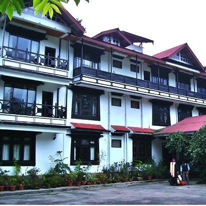
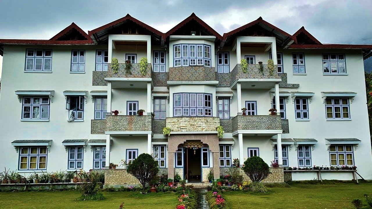
? Arrival at Bagdogra airport and drive to Uttarey. Village visits
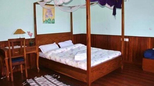
? Overnight Stay at hotel in Uttarey
Kanchenjunga Base Camp Trek
Best Time to Visit Kanchenjunga Base Camp
How Difficult Is the Kanchenjunga Base Camp Trek?
How to Reach Kanchenjunga Base camp
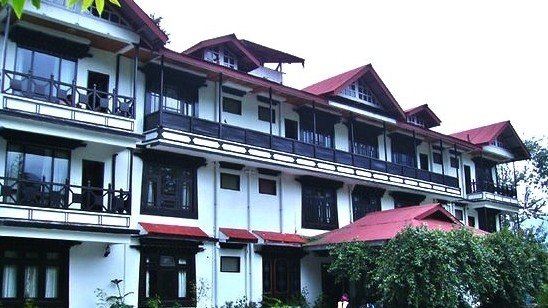
? Arrival at Bagdogra airport and drive to Uttarey. Village visits
? Overnight Stay at hotel in Uttarey

We thread our way up and over the highest reaches of the Singalila Ridge, which forms the border between Sikkim and Nepal. We may meet the occasional Yak herders but they are well beyond permanent settlement. The names given to places around here however exotic it may sound to your ear are basically associated with their purposes, such as high pastures, passes and ridge points. We pass through a rich forest cover, swathes of Rhododendron, open ridges, sacred lakes, and remote passes. Our first day takes us to Chiwabhazyang. An easy trail rises gently through rainforest until a final steep ascent for the last couple of hours brings us to the Nepalese border and our first camp. - A walk to PhokteyDara (top of the Chiwabhanzyang) in the wee hours of the morning provides one of the breaths taking views of both mountains of Nepal & Sikkim (360 degree view). Acclimatization here is a must for further ascending trekkers.
Overnight stay in a tent.

? This is an attractive setting to acquire some essential early acclimatization. A hike to the nearby Singalila peak ? PhokteyDara (3,618m) over the border to Nepal and West Bengal i.e. tri-junction area of Sikkim, Nepal and West Bengal will give us valuable accommodation and the 360-degree view of Annapurna Range including Mt. Everest, Makalu, Nuptse and a towering view of massive Kanchendzonga range.
? Overnight Stay at Camp in Chiwabhanzyang.

A gentle uphill traverse through forests an and then over a more exposed hill side brings us to prayer flags adorning our first pass and views of distant mountains ? a taste of what is to come. As we gradually gain height we will appreciate the previous day?s acclimatization. The occasional yak herders hut is the only sign of habitation as we look down far below to the rice fields and cardamom plantations. Our camp is in a remote and sheltered hollow below the ridge.

Rising just before dawn, a five minutes? walk unto the ridge may reveal the spectacular sight of sunrise on both Everest and Kanchendzonga. Throughout the day we descend and climb, maintaining a steady height, spiralling from one side of the ridge to the other until a rough steep ascent takes us across a pass. Beyond, the trail winds its way steadily through Rhododendrons and past several Hindu shrines where a second easier pass drops down to our camp close to Shepherd?s summer settlement. Look out the Blue Sheep on the high craggy mountainside.

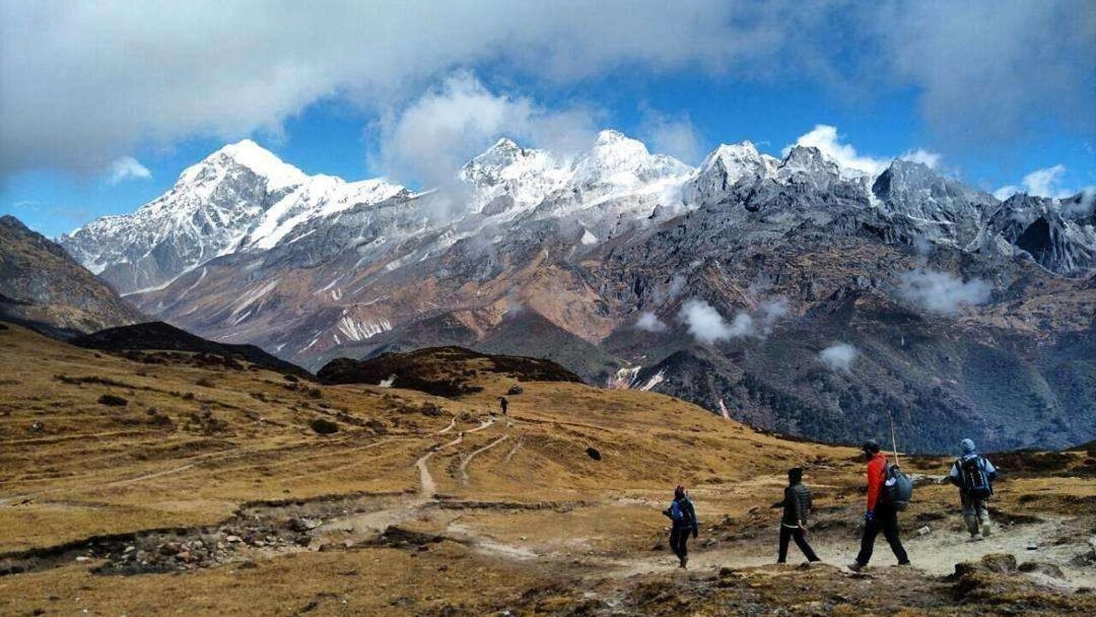
We walk easily on a good trail through woods until we began a steady rise of a broad valley where we catch our first closer view of the entire Kabru Range dominated by Mt. Pandim (6,691m). A further two hours of ascent will get us to our camp with Everest and a host of other Khumbu Giants dominating the distant skyline. An afternoon of rest and acclimatization for the following days foot slogging.

Now we are in high mountain country and the forests lie far below. A little snow underfoot can be expected as we climb to our first pass, the DanpheyBhir La at 4,530m, the Pass of the Pheasant. From here it is possible to see the whole of Sikkim with the view stretching out well into Tibet and Bhutan. A further hours contouring and a small ascent reveal the KagBhir La, (the Pass of the Crow) where we may be lucky enough to get the closest view of the panorama of the Himalayan peaks including Majestic Kanchendzonga. Reluctantly, we then must head down the hill making a steep descent to our river side camp Gomathang.

We have our lovely meadow camp to climb through forests of sweet-smelling silver fir and rhododendrons. Soon we are in high mountains terrain again. Look out for brightly colored Danphey birds (Impeyan Pheasant), which nest in the high crags around the Kamsey La, 4,200m. As we drop down into the meadows of Kolling, we are already looking up at our next pass of 4,300m. , that we reach with a steady ascent of a steep crag to a skyline dominated by the dizzying pinnacles and icy cliffs of Kanchendzonga. Once again we end the day?s hike with a steep descent to our campsite by the Tikep Chu, which has its source high on the Rathong Mountain (6,679m).

Today our route joins the regular trail up to the Goecha La. A steady climb through and ancient fir forests, juniper and rhododendrons gradually opens out the summer pastures of Dzongri. Another high camp but we should be well acclimatized by now, probably in contrast to some of the trekkers we meet who could be on day three of their Dzongri trek at 4,300m. A walk to DaflaKhang (Dzongri top) in the wee hours of the morning provides one of the most magnificent views of the mountains and the whole range of the peaks can be seen. Acclimatization here is a must for further ascending trekkers.
Overnight stay at camp.
Trek from Dzongri to Thangsing takes about approximately 4-5 hours after walking through the bushes and hedges. At first, walking in the plane table land after a few hours, we rapidly descent down the river Prek. On the way, one can view almost all the ranges above all Mt. Pandim looks beautiful. In Thangsing, besides the Govt. huts are all barren, there is no civilization. Overnight stay at camp.
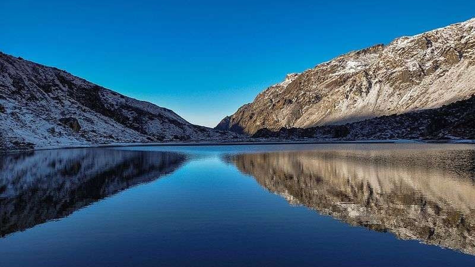
Trek from Thangsing to Lamuney takes about approximately 3-4 hours it is just an easy trek through thin vegetation. Overnight stay in a tent. Samitti is basically, in the base of Mt. Pandim because of its close attachment with Mt. Pandim, here a small beautiful lake has emerged. When it gets snowed, the lake with the mountain provides a spectacular unforgettable view. Overnight in a tent.

Trek from Samitti to Goecha La, back to Samitti takes about 6-7 hours. The trek starts with easy grading. We come across Zemathang which means (sand-plain land). The trail goes through moraines before reaching Goecha La, one can view Green Lake formed right below the path deep down the hill, finally one reaches the second view point from here one can view the southern face of majestic Kanchendzonga. The further trek takes you to Yangi Tar to spend one night in this place which is worthwhile. This place is recommendable because it is quite different than another entire trek, but during winter it is not possible due to thick snow which covers the path and makes it difficult to walk. One can also witness the ?avalanche? of Mt. Kanchendzonga at this place.

Start retracing steps towards Thangsing will take about a couple of hours or so. From Thagsing / Lamuney follow the trail to Kokchurung (3,800m) which is a good camping site. Continue descending towards Tshoka by going through a bye pass route directly to Tshoka. Overnight stay at camp.

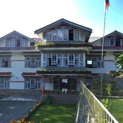
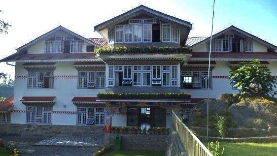
? Trek to Yuksom (1,780m) 5-6 hrs. trek
? Overnight Stay at hotel in Yuksom

? After Breakfast, to Bagdogra airport.

Mount Pandim is a Himalayan mountain located in Sikkim, India. It is 6,691 m (21,952 ft) above sea level. Mount Pandim is visible ...
Know more
Goecha La (el. 4940 mt or 16,207 ft) is a high mountain pass in Sikkim, India in the Himalaya range. The southeast face of Mt. Kan...
Know more
Samiti Lake is a alpine glacial lake located in the West Sikkim District of the Sikkim, India. The lake sits at a high elevation o...
Know morePersonal relationship managers assure fulfillment of your every need

The best fleet of vehicles
at your call
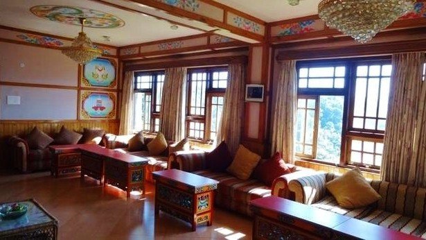
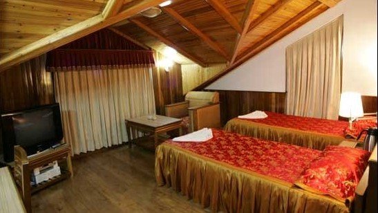
Best deluxe camps, small boutique chalets, heritage hotels & unique home stays

Get the most value and highest satisfaction for your money